Enterprise
1/2
Promoted
Rivers, Port-Harcourt, 37 min ago
29 views
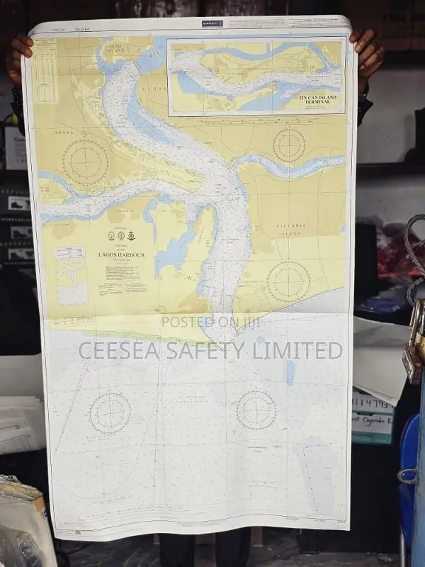
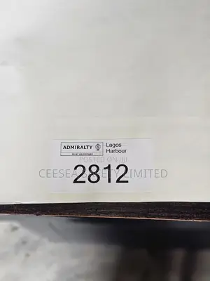
British Admiralty Nautical Chart 2812: Nigeria, Lagos Harbour
CHARTS
Type
Brand New
Condition
ADMIRALTY
Brand
British Admiralty Nautical Chart 2812: Nigeria, Lagos Harbour. Tin Can Island Terminal is a standard nautical chart. Charts within the series consist of a range of scales, useful for passage planning, ocean crossings, coastal navigation and entering port. Mariners should always use the largest scale nautical chart appropriate to their needs. In particularly busy seaways such as the English Channel, Gulf of Suez and the Malacca and Singapore Straits, the standard nautical charts are supplemented by mariners' guides which provide advice on route planning in these complex areas. Admiralty nautical charts are corrected to the latest Not to (NTM) by our trained cartographer at the point of sale. It is the mariner's responsibility to maintain and correct the chart onward to be in compliance with SOLAS regulations and to ensure safe navigation.
Safety tips
- Avoid paying in advance, even for delivery
- Meet with the seller at a safe public place
- Inspect the item and ensure it's exactly what you want
- Make sure that the packed item is the one you've inspected
- Only pay if you're satisfied