1/4
Promoted
Lagos, Yaba, 56 min ago
3 views
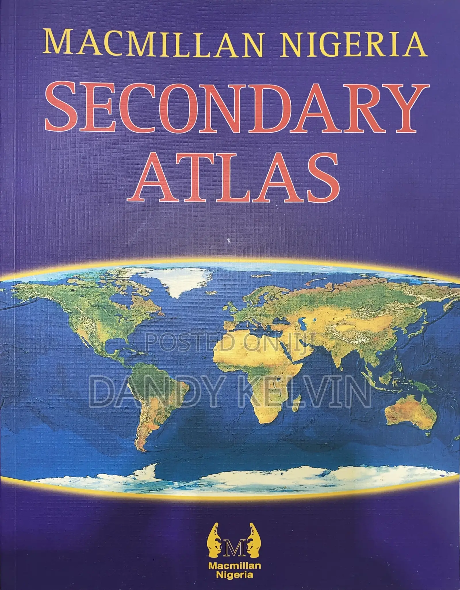
Macmillan Secondary Atlas
Brand New
Condition
Books
Type
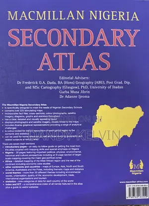
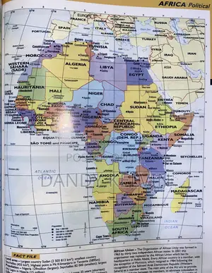
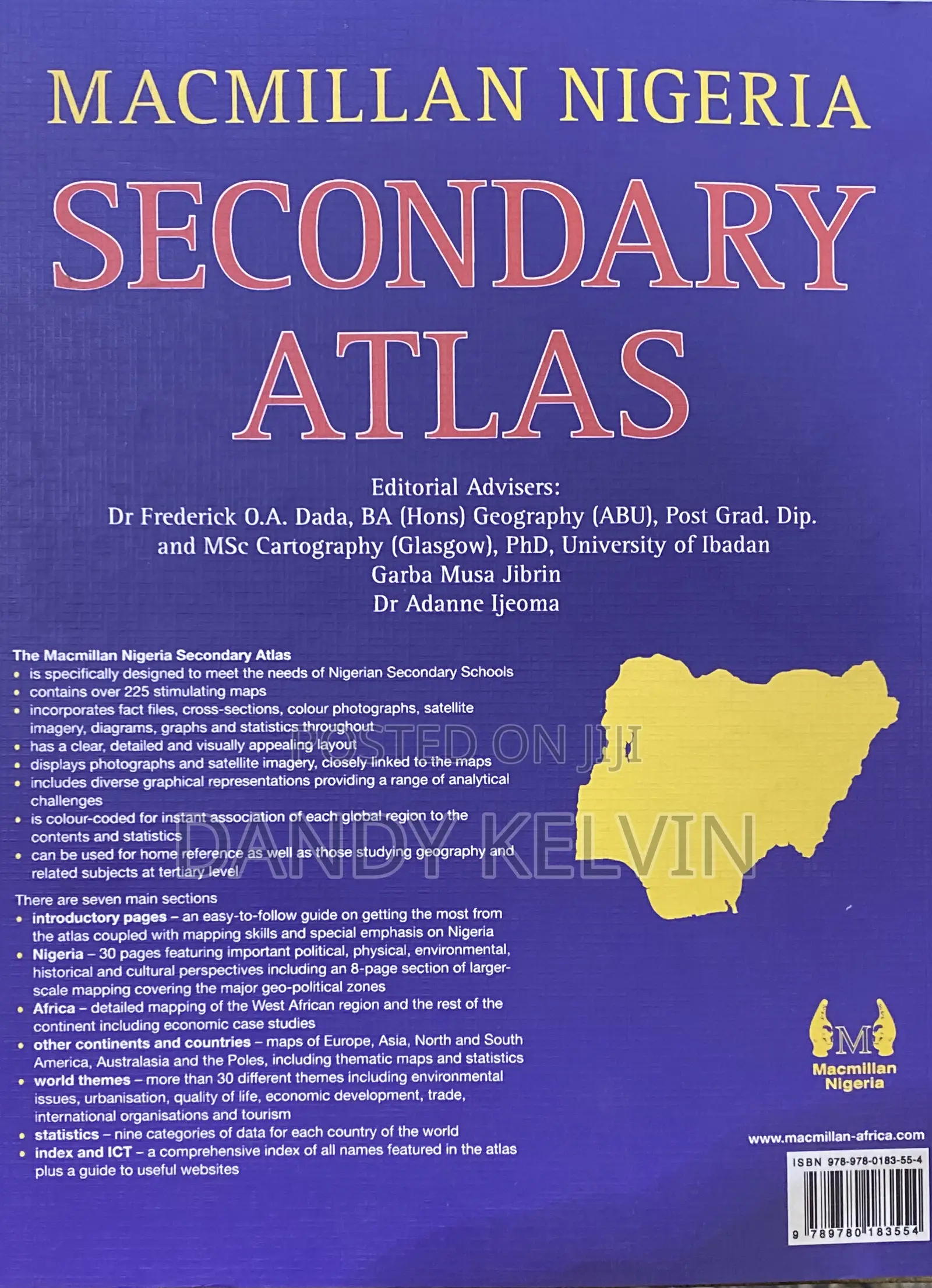
The Macmillan Nigeria Secondary Atlas
• is specifically designed to meet the needs of Nigerian Secondary Schools
• contains over 225 stimulating maps
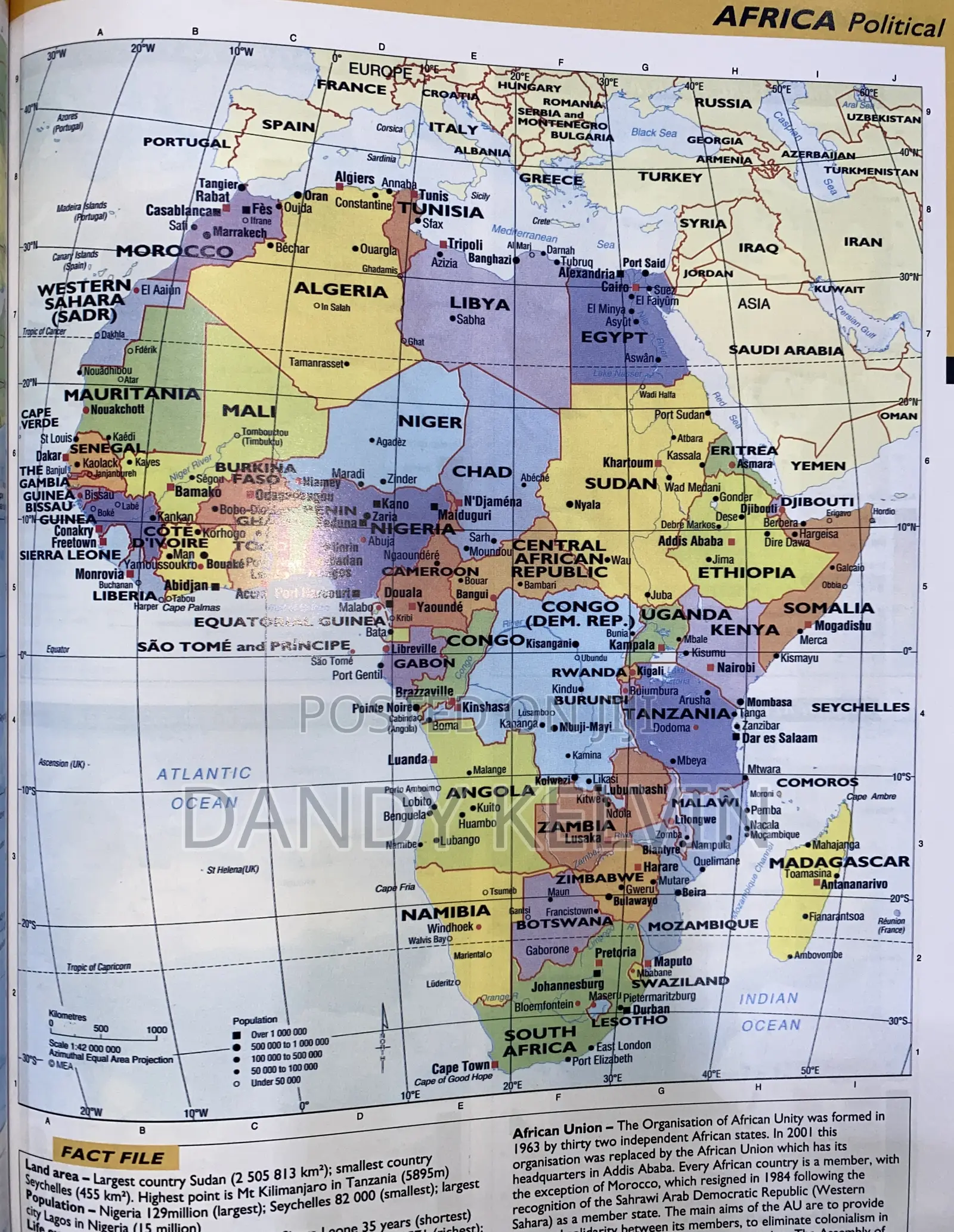
• incorporates fact files, cross-sections, colour photographs, satellite imagery, diagrams, graphs and statistics throughout
• has a clear, detailed and visually appealing layout
• displays photographs and satellite imagery, closely linked to the maps
• includes diverse graphical representations providing a range of analytical challenges
• is colour-coded for instant association of each global region to the contents and statistics
• can be used for home reference as well as those studying geography and related subjects at tertiary level
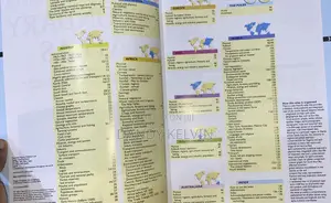
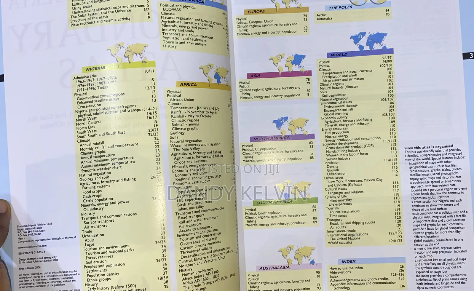
There are seven main sections
And more

Safety tips
- Avoid paying in advance, even for delivery
- Meet with the seller at a safe public place
- Inspect the item and ensure it's exactly what you want
- Make sure that the packed item is the one you've inspected
- Only pay if you're satisfied