
1/3


Promoted
Lagos, Lekki, 1 hour ago
13 views
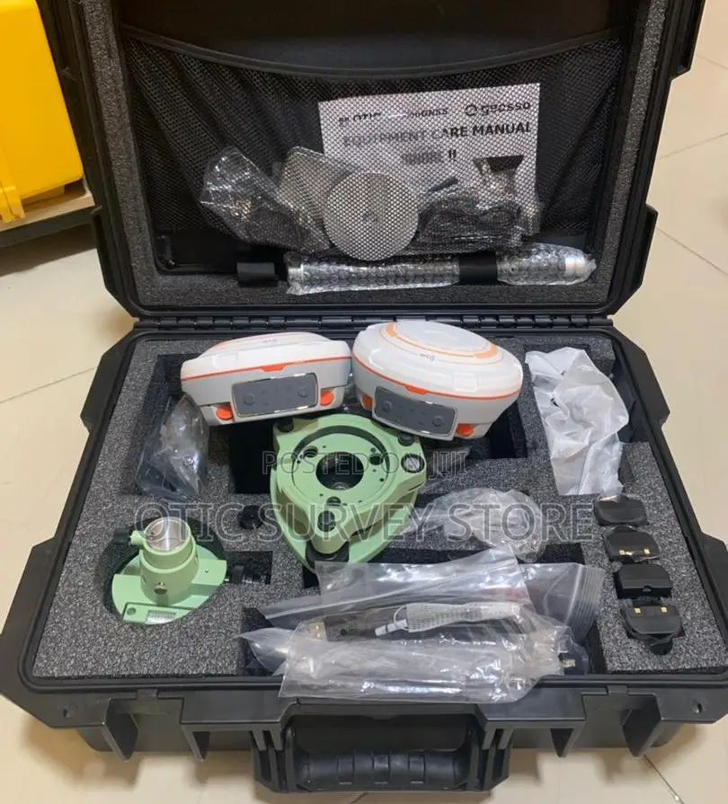
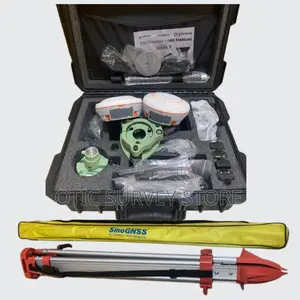
Sinognss Mars Laser RTK Base and Rover Complete Set
Brand New
Condition
SinoGNSS
Brand
GNSS/DGPS Device
Type
Delivery
Lagos State • Lekki
2-4 days
₦ 3,000 - 7,000
Abuja (FCT) • Central Business District
5-7 days
₦ 10,000 - 18,000
The MARS Laser RTK is a high-precision GNSS base and rover system designed for fast, accurate, and flexible land surveying. It delivers centimeter-level accuracy and includes a built-in laser that allows you to measure points up to 30m away without physically touching them
With its IMU tilt technology, you can take accurate measurements even when the pole is tilted up to 60° supports GPS, GLONASS, BeiDou, and Galileo, ensuring strong signal tracking and fast RTK fix
Key Features
Built-in laser measurement
±1cm RTK accuracy
IMU tilt survey (up to 60°)
Multi-constellation GNSS
Long-range UHF radio (up to 15km)
Bluetooth & Wi-Fi
12–15 hours battery life
Internal data storage (PPK)
CORS / NTRIP ready
Perfect For
• Land surveying
• Construction & engineering
• Road & drainage works
• Property & boundary mapping
• GIS & topographic surveys


₦ 8,000,000
Negotiable₦ 7,800,000
≥ 2 piecesSafety tips
- Avoid paying in advance, even for delivery
- Meet with the seller at a safe public place
- Inspect the item and ensure it's exactly what you want
- Make sure that the packed item is the one you've inspected
- Only pay if you're satisfied


