

1/7


+ 2
images
Promoted
Lagos, Lagos Island (Eko), 28 min ago
9 views
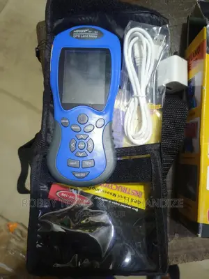
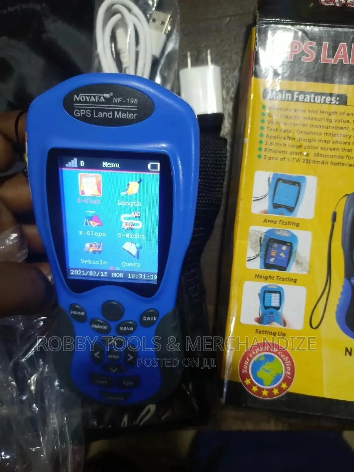
GPS Land Meter
Brand New
Condition
Other
Brand
GPS Devices
Type
Store address
Verified
Lagos State • Lagos Island (Eko)
10, Ibomo Street, Lagos Island
Closed
• Mon - Sat, 08:00-18:00
Lagos State • Lagos Island (Eko)
11 Agarawu Street, Lagos Island
Ask for Robby Tools
Closed
• Mon - Sat, 08:00-18:00
-measure area and legth of any shape (containing mountaneous land, slope, and flat field).
- can display measuring value, figure tract and automatically calculate price after measurement.
- vehicle-carrier measurement, distance cqn be adjusted according to demand.
- test data, graphics trajectory can be for printing.
-applicable google map shows real graphic trajectory.
- 2.8 inch large color screen that makes more clear and visually.
-efficient startup: 30seconds for cold boot, 3second for warm boot.


₦ 110,000
NegotiableSafety tips
- Avoid paying in advance, even for delivery
- Meet with the seller at a safe public place
- Inspect the item and ensure it's exactly what you want
- Make sure that the packed item is the one you've inspected
- Only pay if you're satisfied


