
1/3
Promoted
Abuja, Central Business District, 1 day ago
87 views
Registered Land Surveyor
Geoskies survey Ltd
Company Name
Domestic & Industrial
Service Type
Surveying
Type
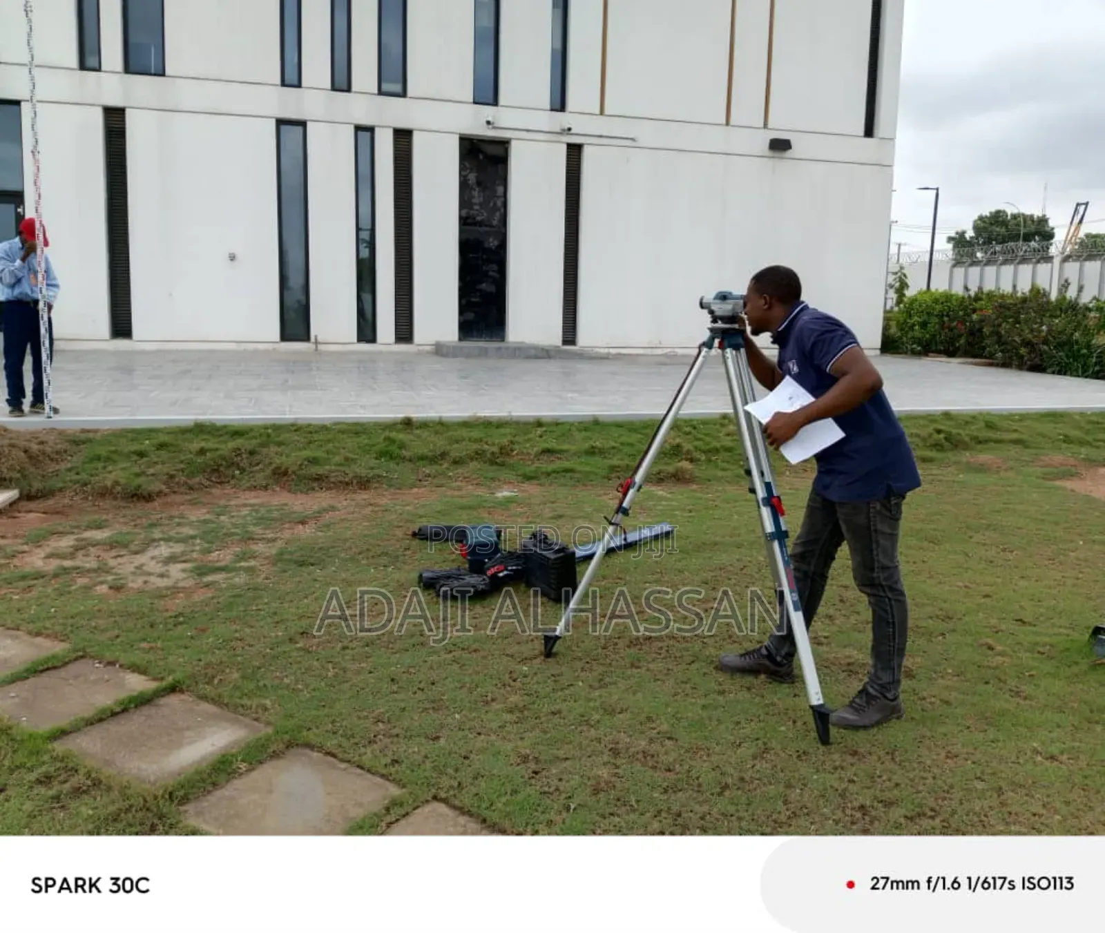
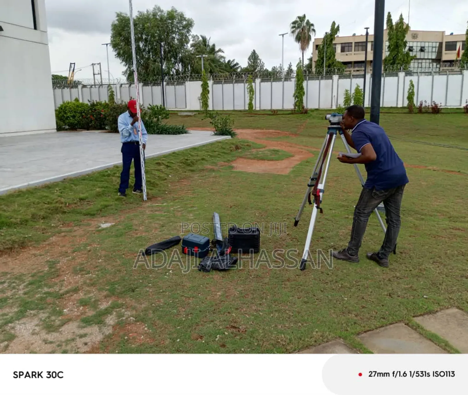
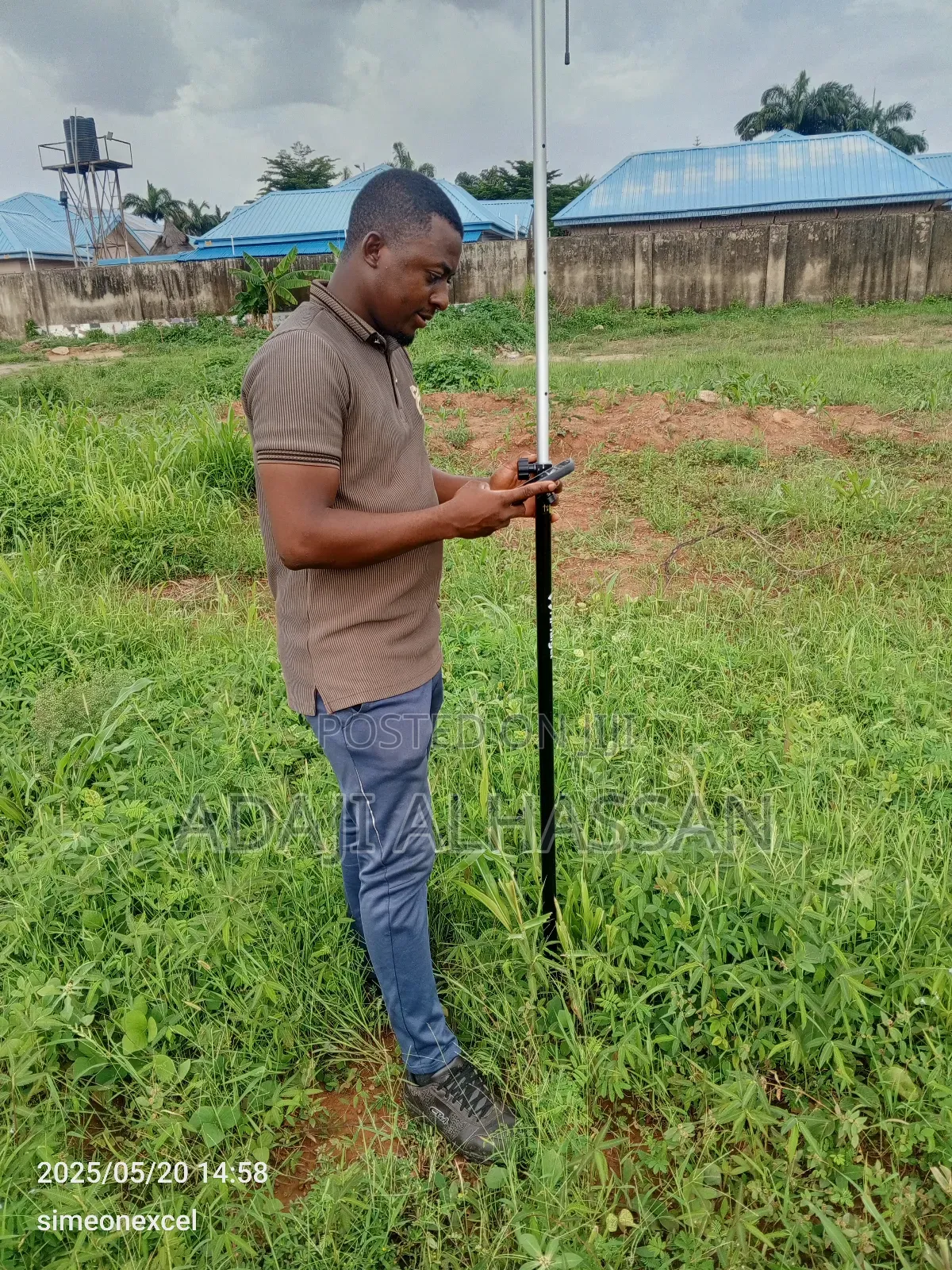
I’m a Registered Land Surveyor with over 7 years of hands-on experience delivering precise, reliable, and regulation-compliant surveys. Whether you’re a developer, contractor, government agency, or private landowner, I provide critical services that form the backbone of successful land and infrastructure projects.
My Services Include:
Boundary & Title Surveys
Topographic & Engineering Surveys
Construction Layouts
Subdivision & Plotting Plans
Route & Road Surveys
Georeferencing & GNSS Mapping
Why Choose Me?
Licensed and Certified
Accurate & Fast Delivery: Leveraging modern tools like GNSS, drones, and Civil 3D.
Risk Mitigation: Avoid land disputes and construction delays with legally defensible data.
Client-Focused: I communicate clearly, deliver on schedule, and tailor my services to your project goals.
Contact for price
Safety tips
- Check Feedback to make sure the person is reliable
- Agree on the scope of work and remuneration
- Meet in person at a safe public place


