
1/3


Abuja, Asokoro, 1 day ago
9 views
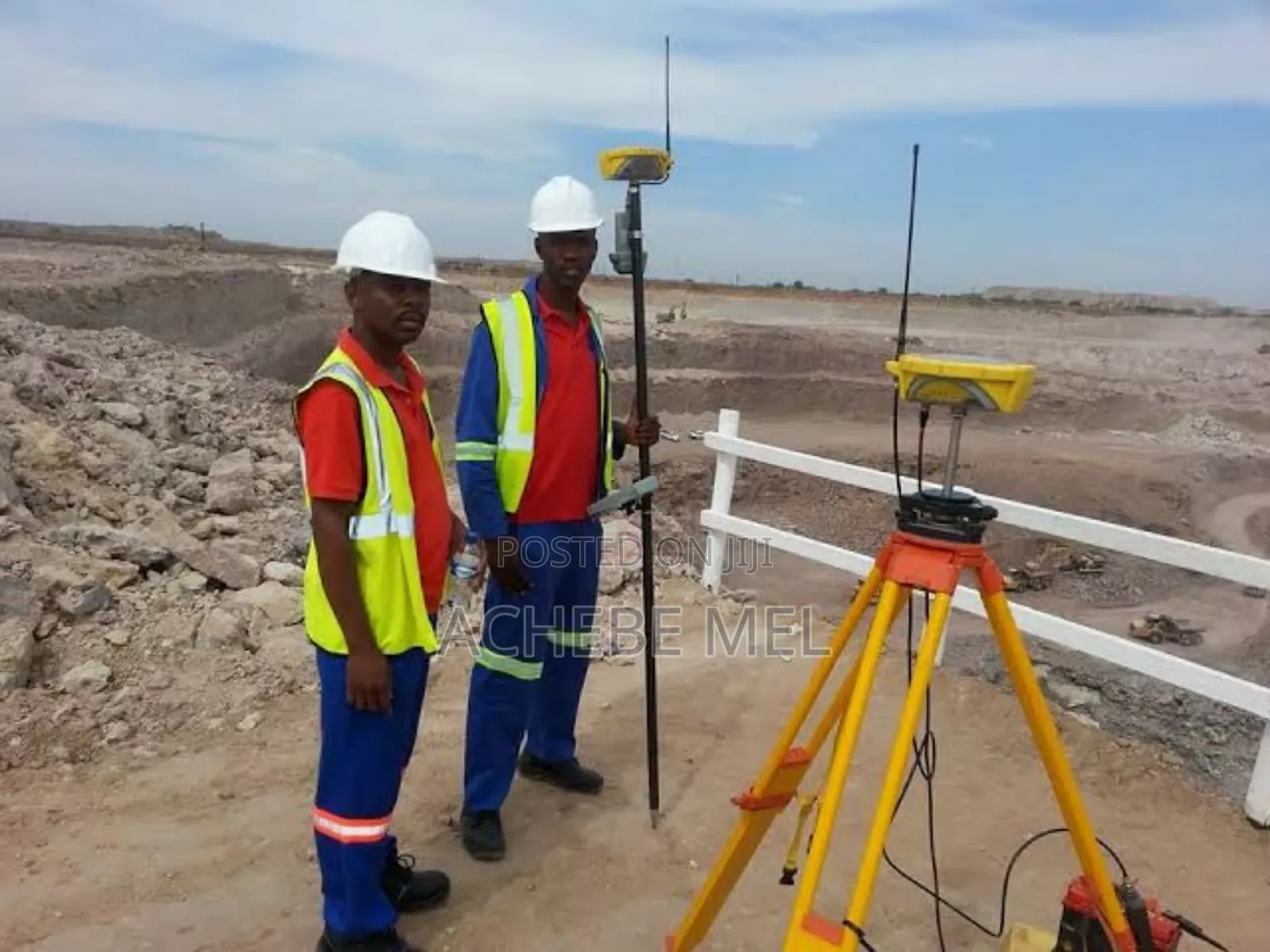
Land Surveyor / Gis Drone Mapping
Infogeospatial NG
Company Name
1. cadastral surveys
2. boundary surveys
3. land registration surveys
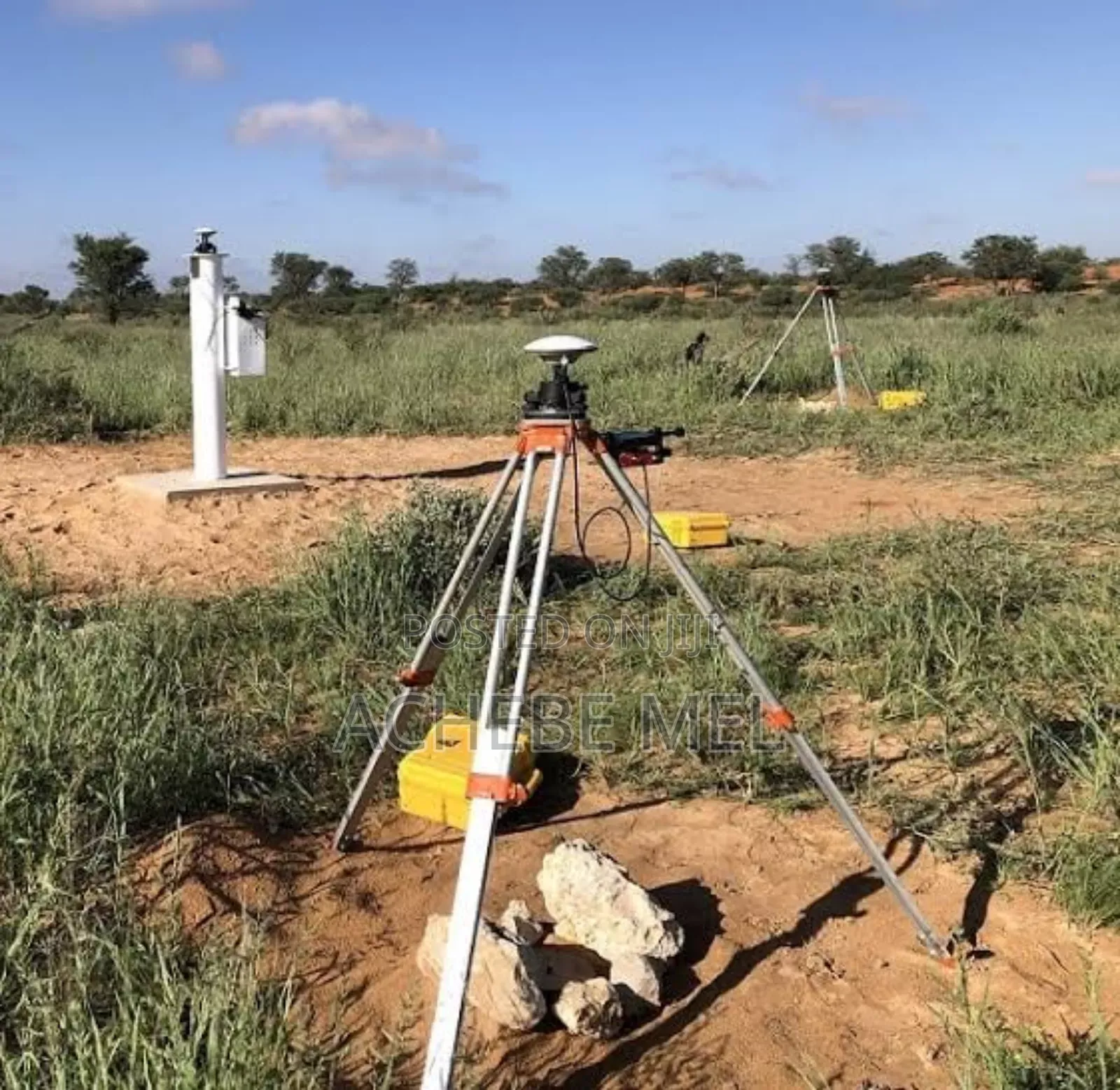
4. topographic surveys
5. subdivision design and surveys
6. geographic information system (gis) services
7. title verification surveys
8. legal property documentation surveys
9. land dispute resolution surveys
10. layout design and surveys
11. land information system (lis) updates
12. survey plan production
13. perimeter surveys for certificates of occupancy (c of o)
14. mapping for urban planning
15. road and infrastructure mapping surveys
16. drone (uav) surveys
17. aerial mapping and photogrammetry
18. environmental impact surveys

Safety tips
- Check Feedback to make sure the person is reliable
- Agree on the scope of work and remuneration
- Meet in person at a safe public place


