
Diamond

1/5


Promoted
Lagos, Ikeja, 2 hours ago
5 views
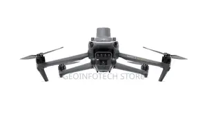
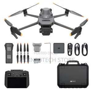
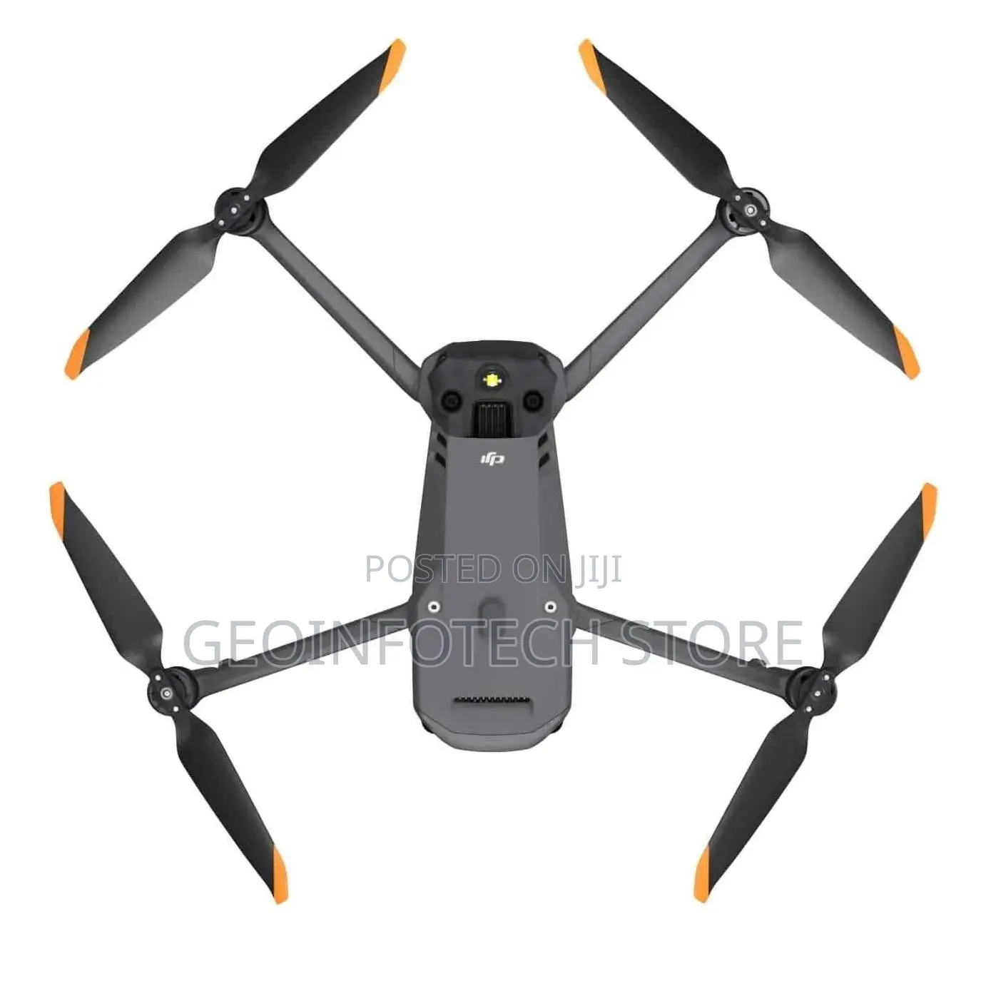
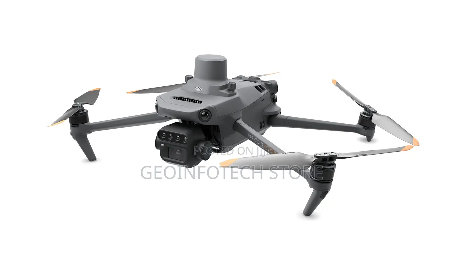
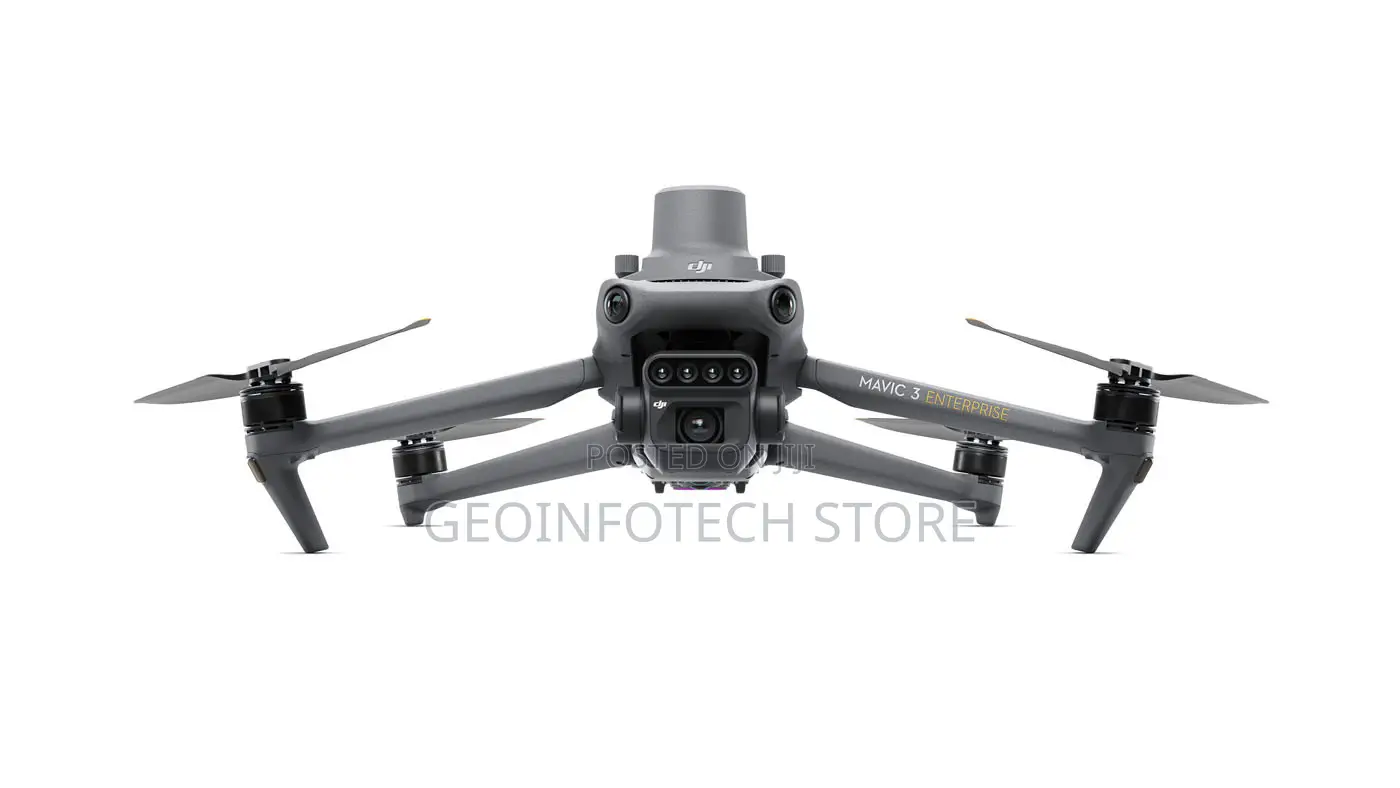
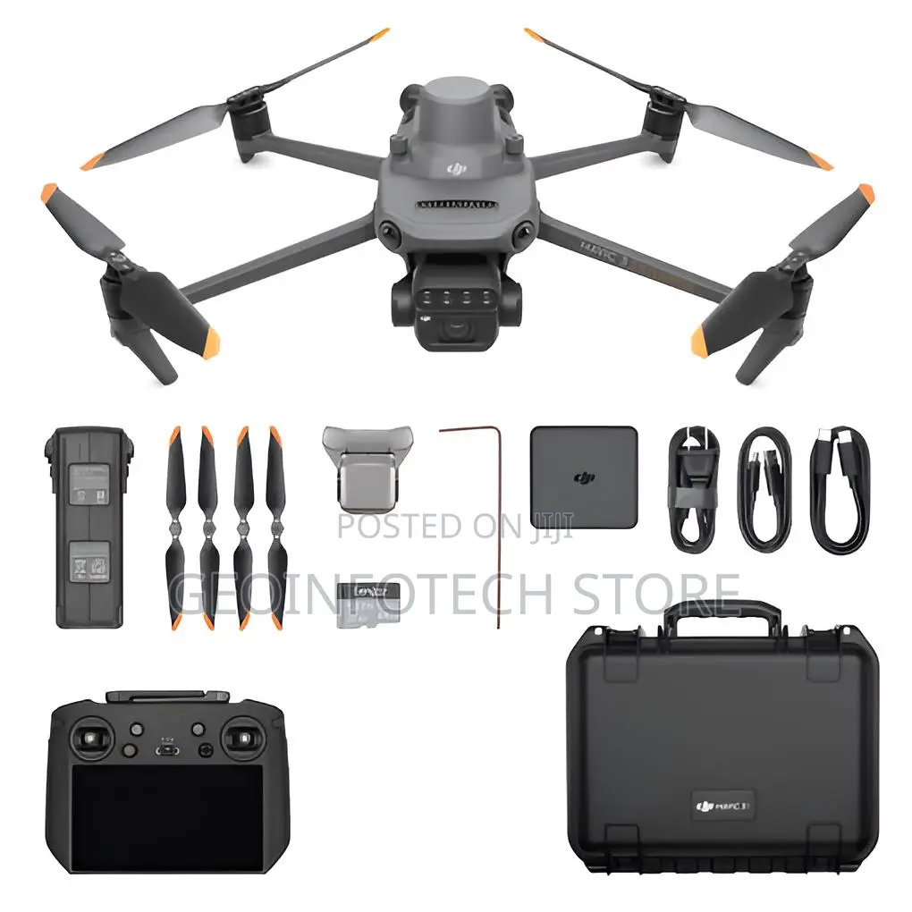
Dji Mavic 3 Multispectral D-RTK
76km/h
Maximum Speed
Yes
Camera Included
20MP
Photo Resolution
4K
Maximum Video Resolution
30fps
Maximum Frame Rate
5000mAh
Battery Capacity
951g
Weight
Livestream, Obstacle Avoidance
Drone Features
Store address
Lagos State • Ikeja
Geoinfotech, Oluwalogbon House, Obafemi Awolowo Lagos NG, Obafemi Awolowo Way
Closed now
• Mon - Fri, 08:00-17:00
Effective aerial surveying needs to see the invisible. That's why Mavic 3 Multispectral has two forms of sight. It combines an RGB camera with a multispectral camera to scan and analyze crop growth with total clarity. Agricultural production management requires precision and data, and Mavic 3M delivers both.
₦ 9,800,000
Negotiable
Safety tips
- Avoid paying in advance, even for delivery
- Meet with the seller at a safe public place
- Inspect the item and ensure it's exactly what you want
- Make sure that the packed item is the one you've inspected
- Only pay if you're satisfied


