1/5
Promoted
Oyo, Ibadan, 1 hour ago
31 views
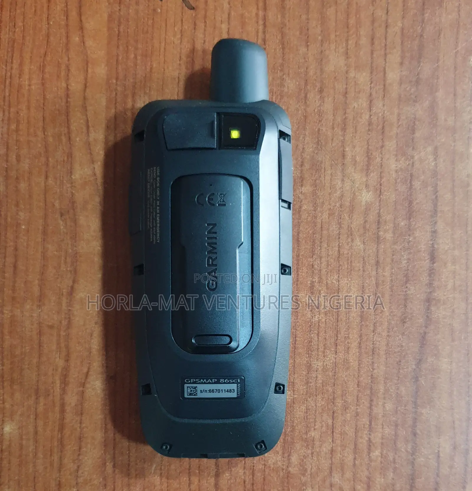
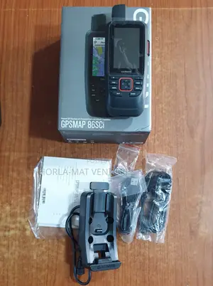
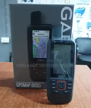
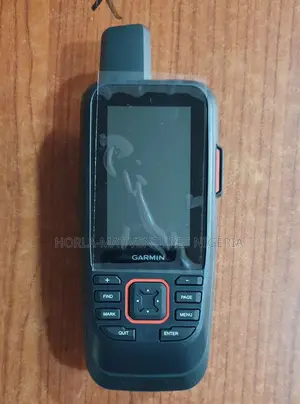
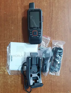
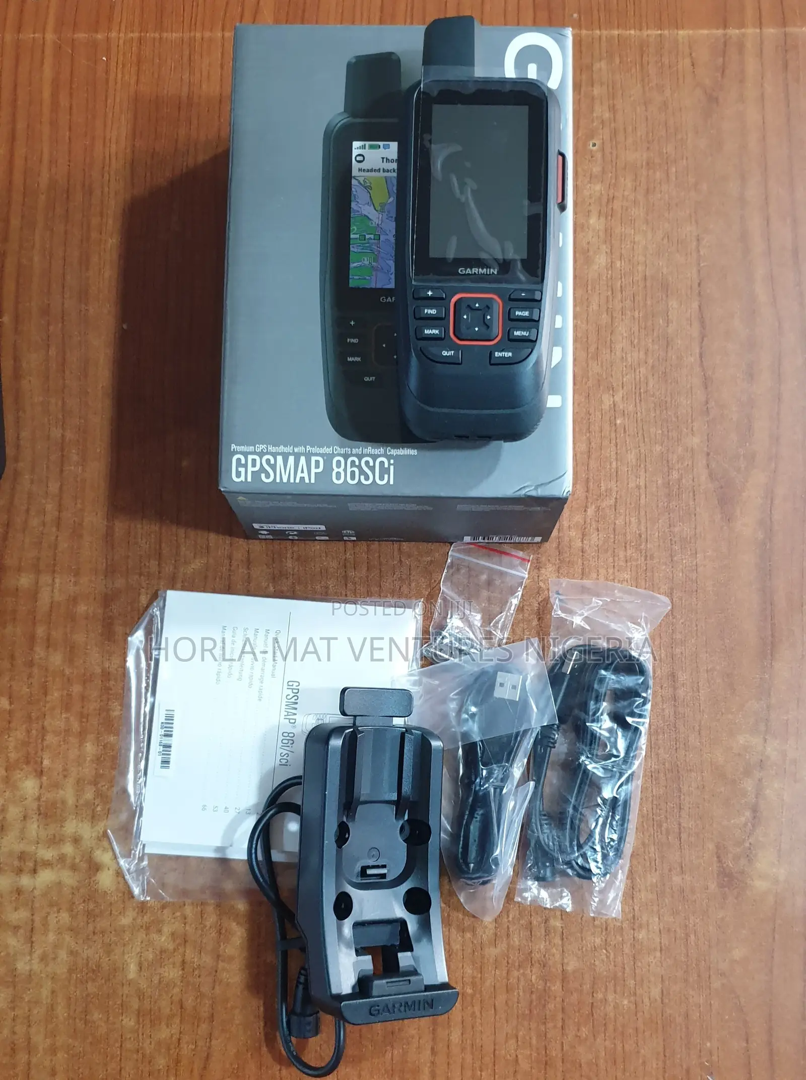
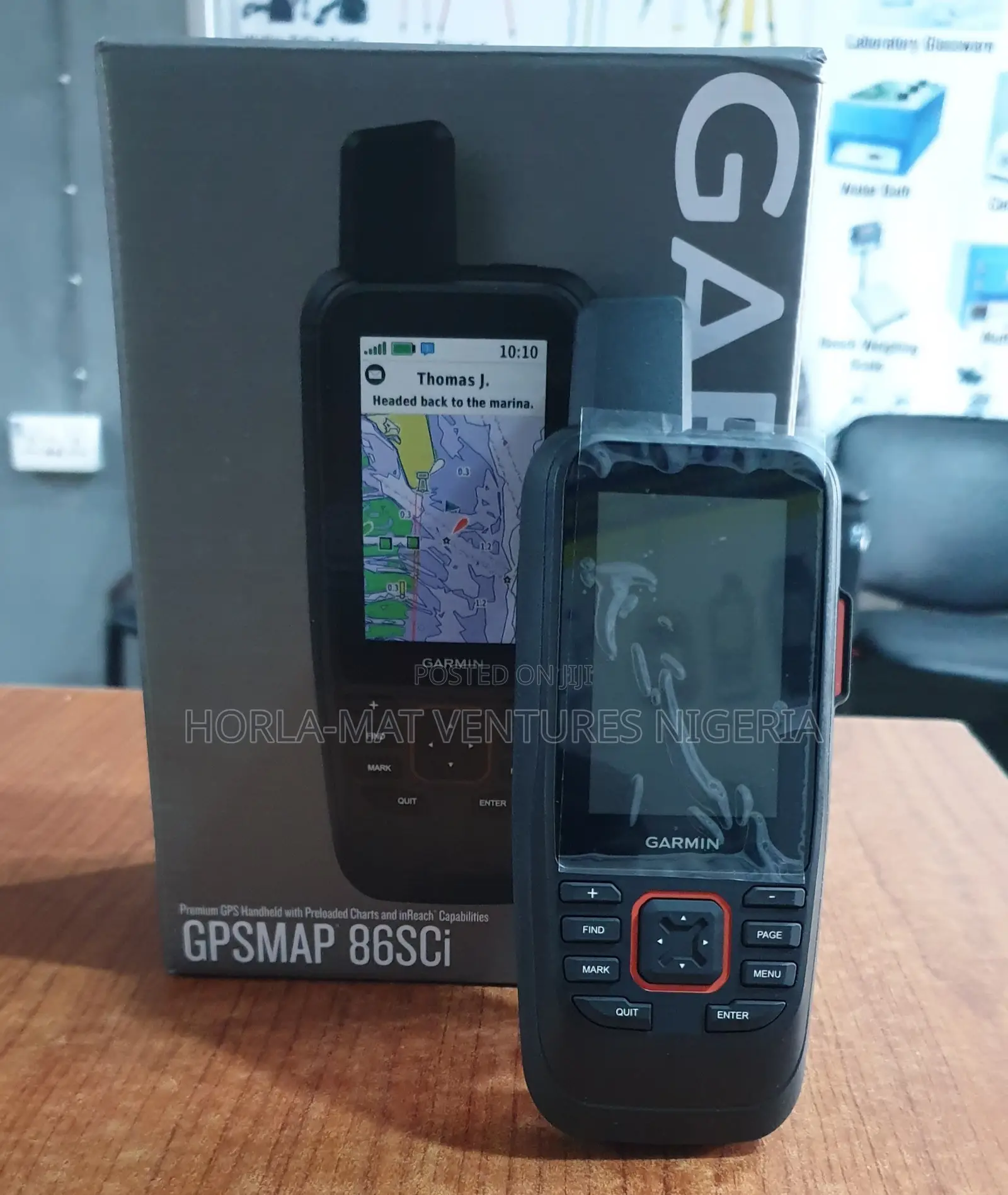
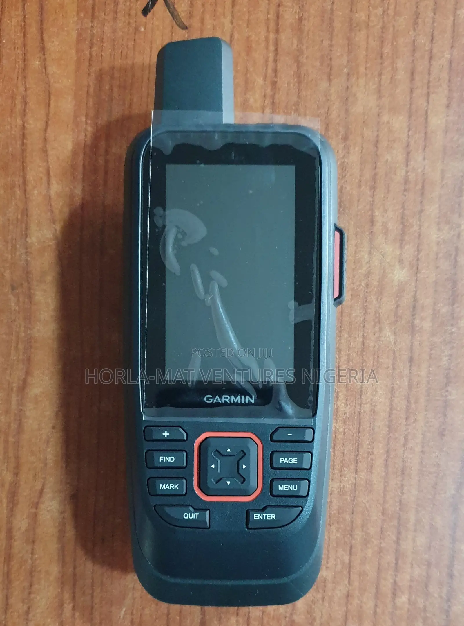
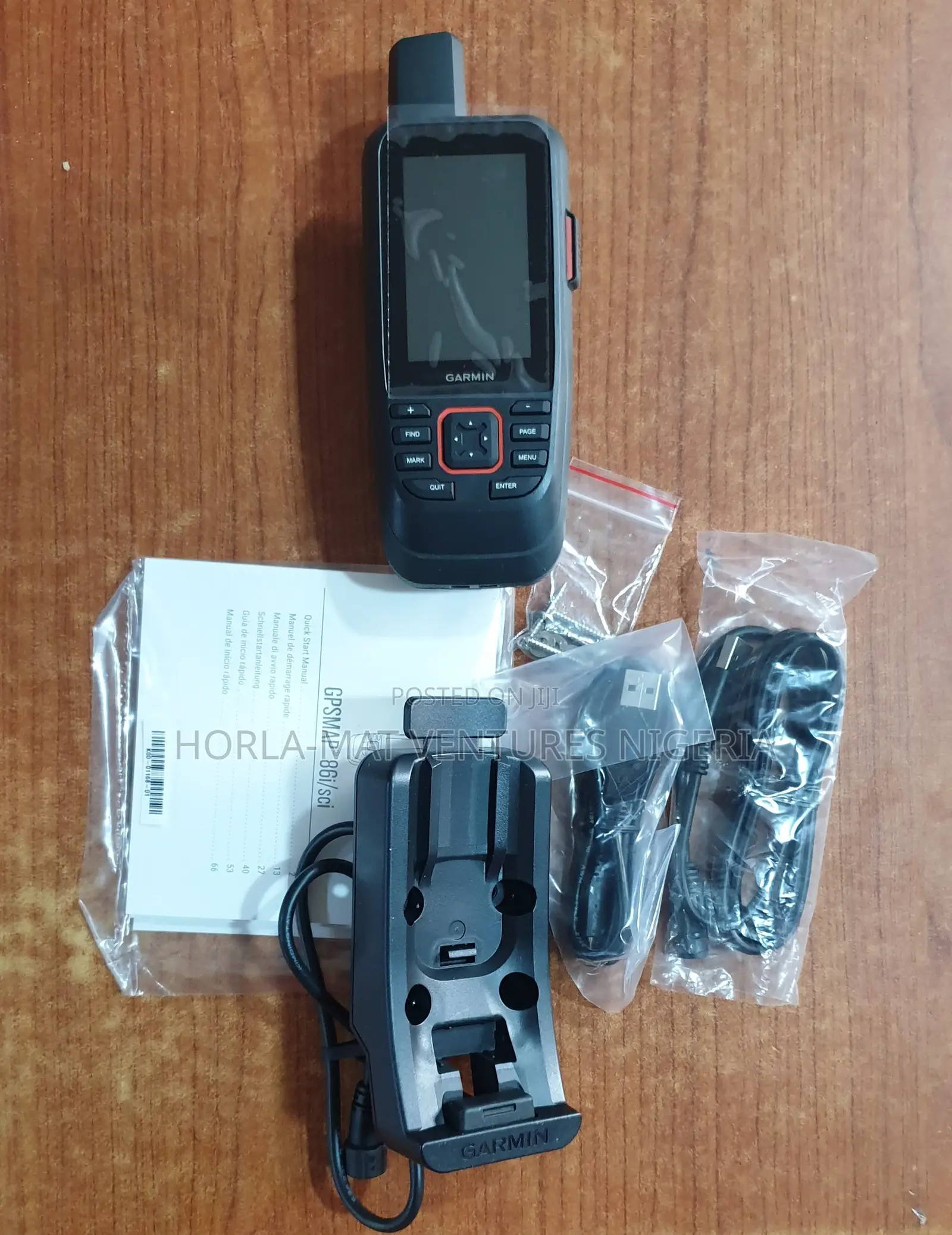
Garmin GPSMAP 86sci Handheld GPS
Brand New
Condition
Other Make
Make
Other Model
Model
Other
Type
Store address
Oyo State • Ibadan
Blue Building, Opposite International Conference Centre, U.I 2nd Gate, Ibadan, Oyo State, Nigeria
08:00-18:00
Key Features
Satellite Communication: Built-in in Reach capability for two-way text messaging and interactive SOS via the 100% global Iridium network (subscription required).
Marine Mapping: Preloaded Blue Chart g3 coastal charts with integrated Navionics data.
Design: Water-resistant, floating design with a 3-inch sunlight-readable color display.
Connectivity: Multi-GNSS support and smart connectivity to stream boat data from compatible onboard chart plotters and instruments
Safety tips
- Avoid sending any prepayments
- Meet with the seller at a safe public place
- Inspect what you're going to buy to make sure it's what you need
- Check all the docs and only pay if you're satisfied