1/4
Wanda aka yada
Lagos, Lekki, 10 awanni da suka gabata
14 adadin kallo
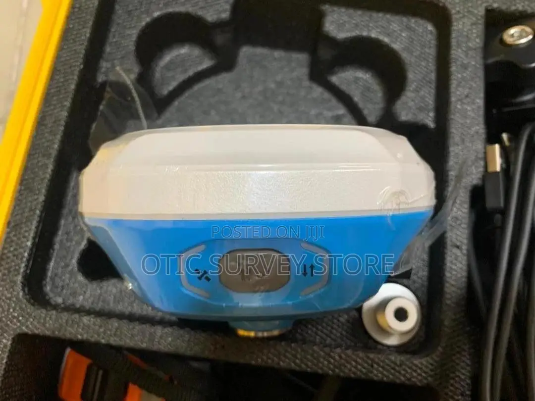
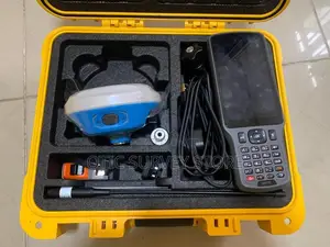
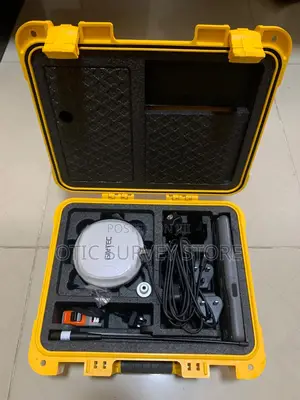
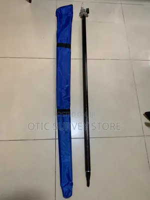
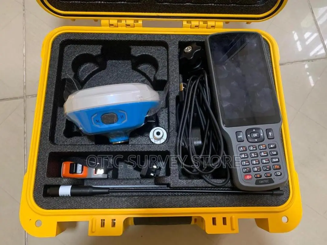
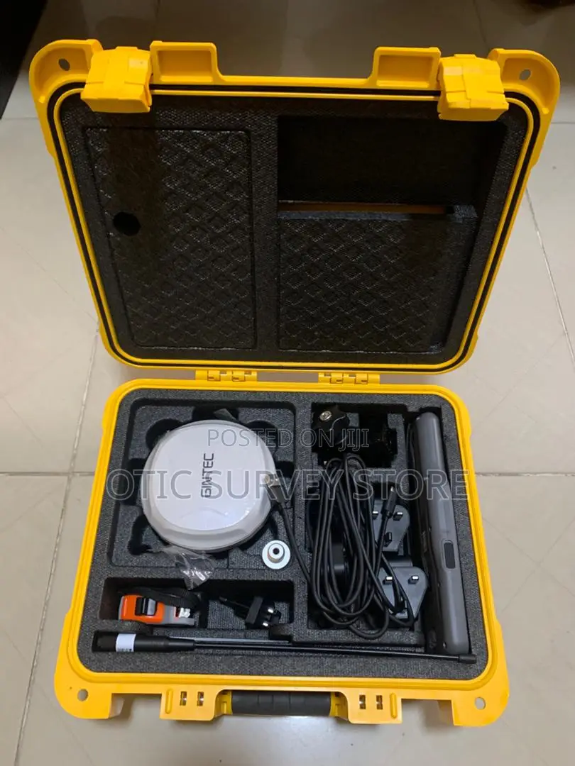
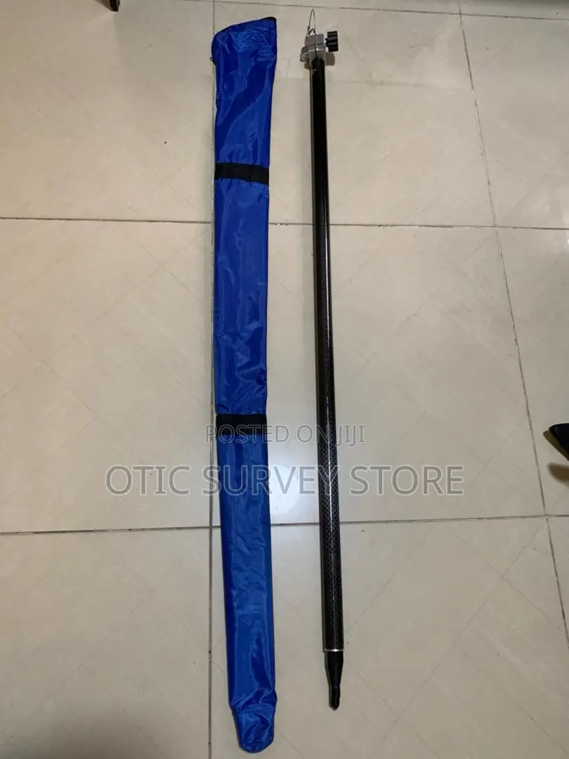
Gintec G40 RTK GNSS/DGPS Receiver With Ar Camera, 2m Pole
Sabo Fil
Yanayi
Gintec
Kaya
GNSS/DGPS Device
Nau'i
Aiko kaya
Jiha Lagos • Lekki
2-4 ranaku
₦ 3,000 - 7,000
Abuja (FCT) • Central Business District
5-7 ranaku
₦ 10,000 - 18,000
GNSS RTK rover designed for fast and accurate surveying and construction stake-out. It features a built-in camera for AR (Augmented Reality) stake-out, allowing you to see design points directly on the ground through the controller, making stake-out easier and faster.
It delivers centimeter-level RTK accuracy and supports GPS, GLONASS, BeiDou, and Galileo for strong signal tracking. With IMU tilt compensation, you can measure accurately even when the pole is tilted.
The G40 connects easily via Bluetooth & Wi-Fi, supports UHF radio and CORS/NTRIP, and works with popular
Built-in camera for AR stake-out
±1cm RTK accuracy
Multi-constellation GNSS
IMU tilt survey
UHF radio & CORS/NTRIP support
Bluetooth & Wi-Fi connection
Long battery life & rugged design
Perfect for: Construction stake-out, land surveying, road projects, and site layout.
₦ 3,600,000
₦ 3,400,000
akalla ≥ 2
Sirrin bada kariya
- Ka da a biya kudi kafin isowar kaya, ko da kudin sallawu
- A hadu da mai kaya a amintaccen wuri a fili
- A duba kayan, a tabbata shi ne ainihin abin da ake bukata
- A tabbatar cewa abin da aka kunshe shi ne wanda aka duba
- Ka da a biya sai an gamsu